Tunisia, March 2008 (Part III)
Home |
Motorcycle Pages |
Back to Part I |
Back to Part II
Top | Slideshow
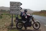
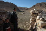
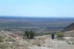
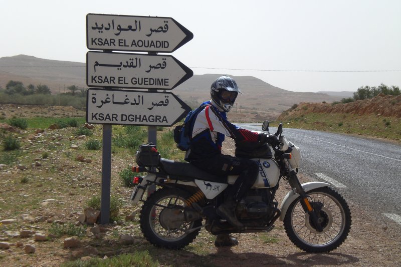
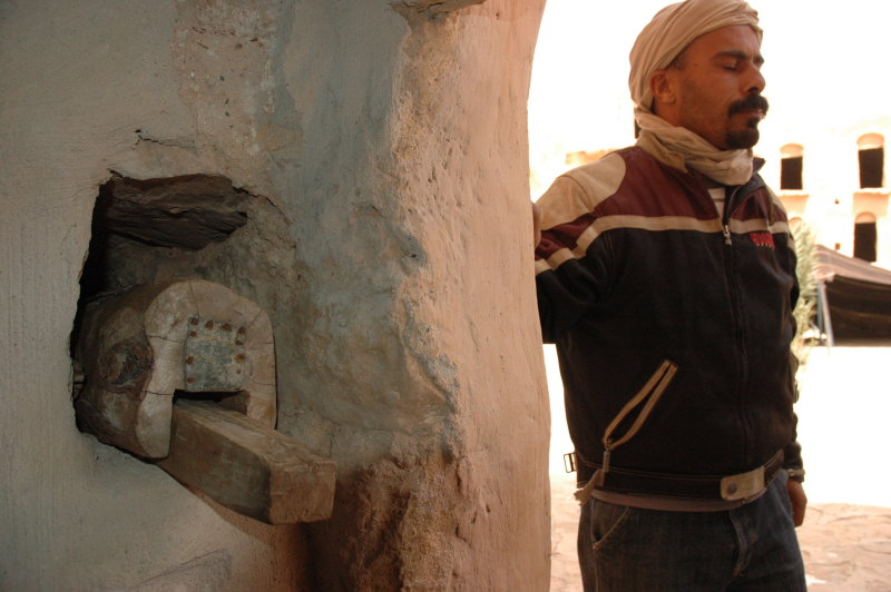
Tataouine
This day was spent for a "tour of the ksours", which we based on a round-trip found in the travel guide. One nice thing about this
trip is that you can study several ksours in different environments along the way. You start with those in the worst shape,
and end with the beautiful ones.
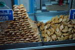
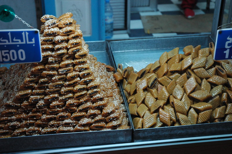
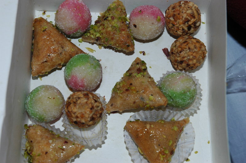
First and foremost, we needed some "ressources" for the day. The we bought several bottles of water and a
number of pastries, among them the famous cornes de gazelle - a sweet thing based on almonds and of course sugar.
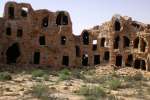
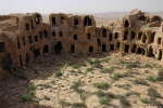
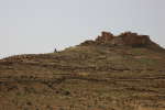
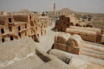
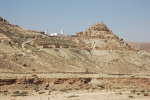
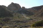
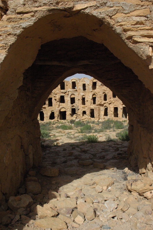
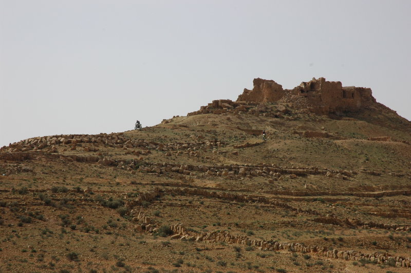
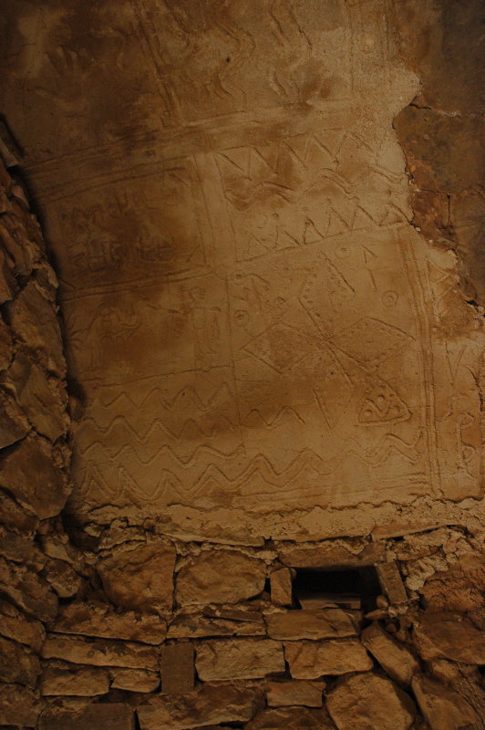
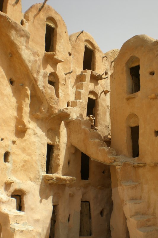
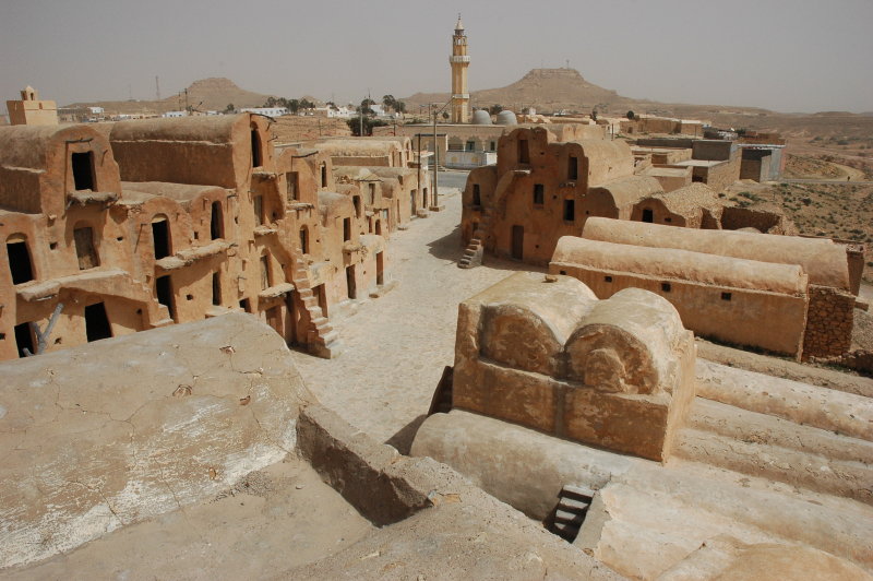
Ksar Tounkett
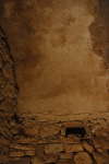
Ksar Tounkett (view on Google maps) sits like a crown
on the mountain. It is in a completely abandoned state, but the sight of the building with it up to four storeys of Ghorfas is worth the trip.
Ksar El Khadim
Ksar El Khadim (view on Google maps) is a "must see".
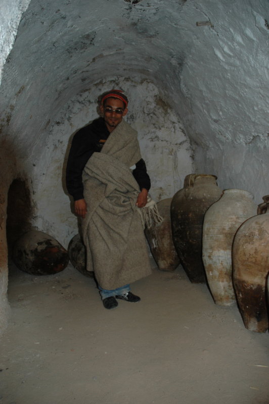
It has both an unusual situation (not on top of a mountain) and structure (almost squared, like a fort). When we arrived there we first thought
the site was closed since there was a big, wooden door that was locked, but we had barely stopped when a young man came running with the
key.
He wished us a nice visit and the only thing he requested was that we would bring the kes back when we left :-)
Indeed the lock is provided since the site is currently undergoing renovation and many of the storage caves are brought back to use.
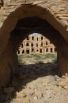
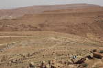
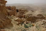
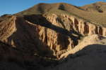
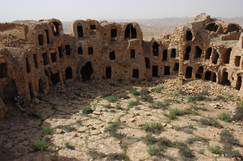
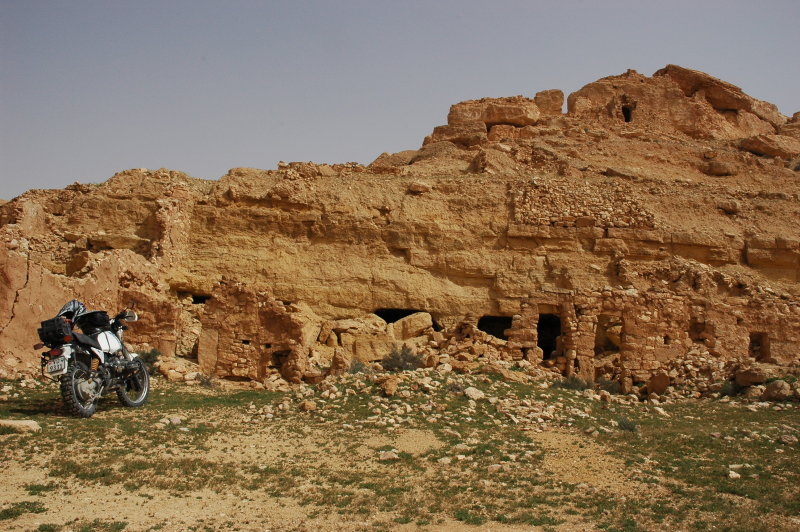
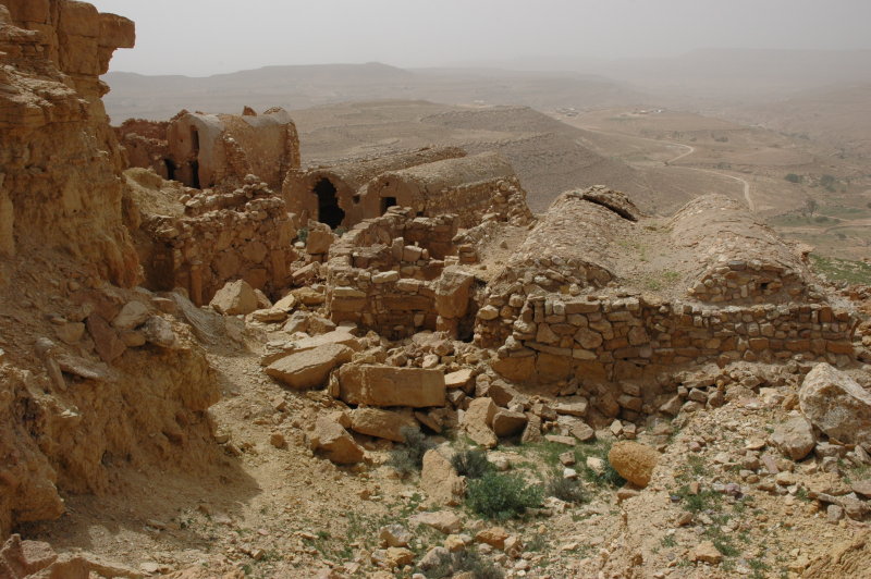
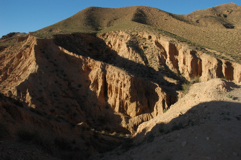
Ksar Sedra
Ksar Sedra (view on Google maps) is another one of those
ksours that blend with the surrounding landscape. It is completely abandoned, too, but the view from there is just marvellous. There are many paths
and tunnels under the mountain that are apparently worth exploring, but we decided not to climb around there - this was ksar number five for the
last few days, so we were slightly saturating ...

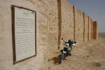
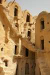
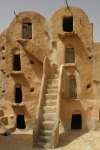
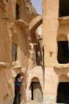
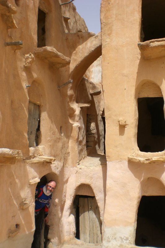
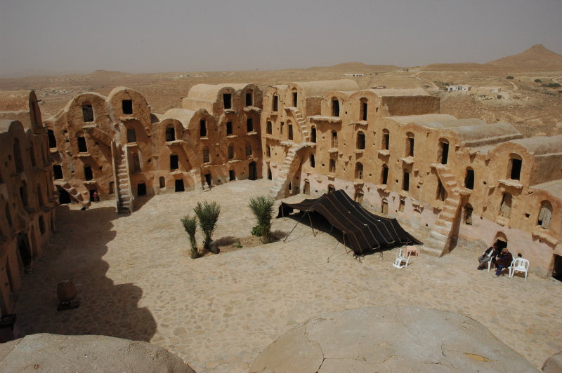
Ksar Ouled Soltane
Probably one of the most famous places here is Ksar Ouled Soltane (view on Google maps).
The place is indeed beautiful, but you are also constantly followed by more or less official "guides". We ended up with one of these guides,
and albeit not all of the information was correct it was worth the few Dinars ... we learned about the construction of the ksours, the symbolism of the
secure the doors (remember, this site was mostly used as storage space, not for living). And, well, we could get on the
roof and enjoy the view!


Return to Tataouine
In the last hours, the wind had been getting stronger. Ksar Zahra (view on Google maps)
was our last "official" stop for the day anyway. This ksar is not abandoned but is fully integrated into the daily life of the village. However, we
did not really visit the place since the wind was now turning into a storm - still under a sunny day, but a very strong wind and lots of dust.
Thus, we hit the road and were back in Tataouine in the early afternoon.
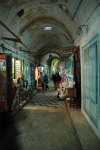
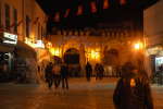
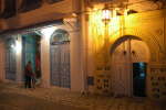
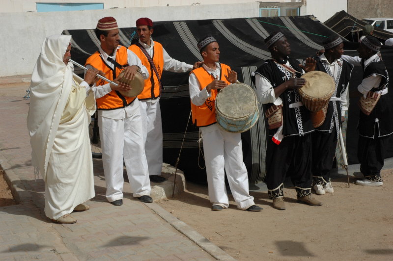
Since there was a Festival going on at the time of our visit, we profited from the public music and dance
demonstrations that were held for some politicians, then took a stroll through the city - this time at daylight. And yes, we ended up again in
La Méditerranée, with the best chicken in town :-)


Logistics
- Hotel: Same as yesterday.
- Restaurant: Again La Méditerranée, best chicken in town :-)
- Total: 70 km.
Top | Slideshow
Chenini
After the relaxed evening we packed the bikes (you guessed that, no? ;-) and headed off to the west. We had passed by the
village of Chenini last year, but from the other side - indeed the view is completely different when you approach it from the east!
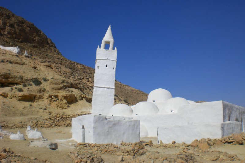
Just before passing Chenini (from the east, that is), a road leads to Jeema Kedima, the Mosque of the Seven Giants
(view on Google maps).
The legend assigns the seven seven long tombs that can be found near the odd-shaped tower to seven Christian warriors
that had been hidden in the mountains long, long time ago, fell asleep and woke up hundreds of years later only to
find they had turned to giants. They could only die and rest in peace once they converted to Islam.
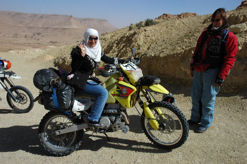
There were a few other tourists at the same place and as usual the bikes attracted some curiosity.
I guess everybody wants a photo of himself on a big motorbike :-)


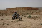
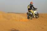
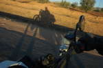
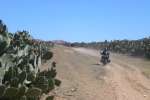
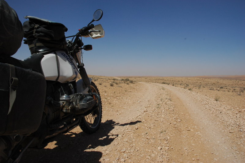
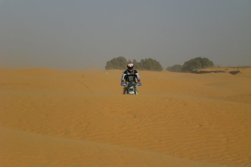
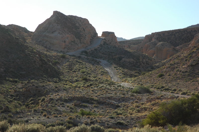
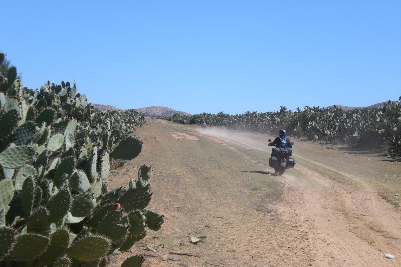
Into the desert
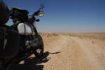
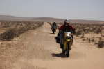
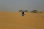
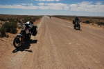
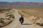
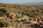
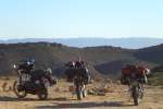
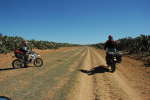
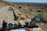
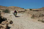
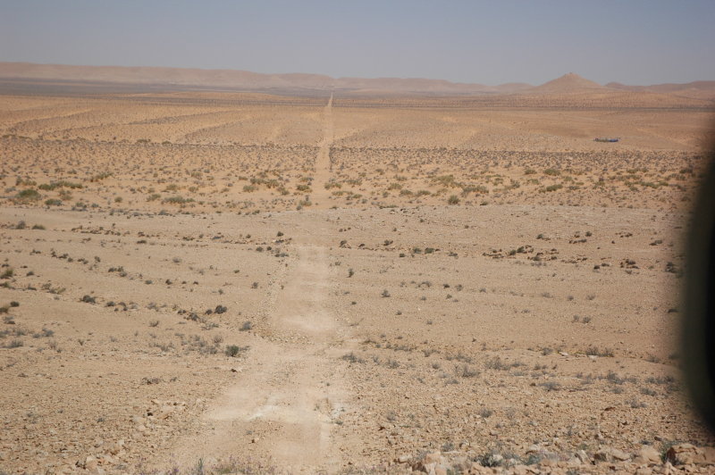
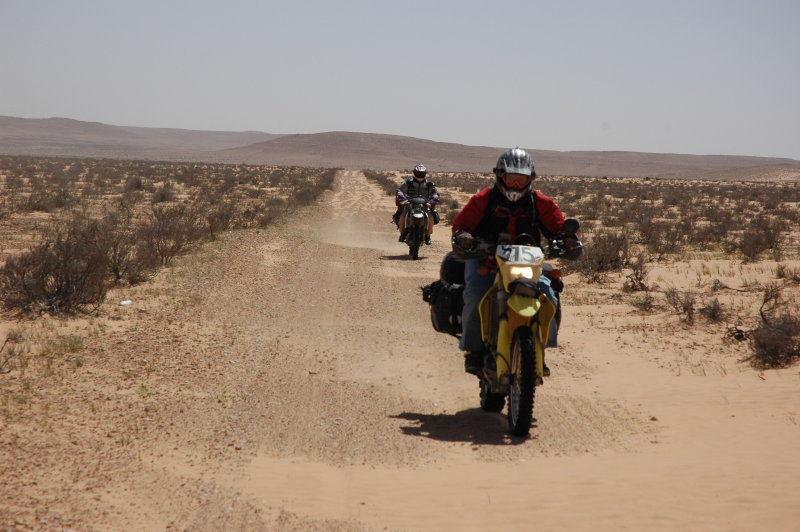
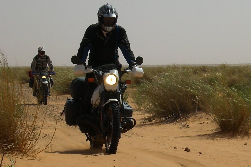
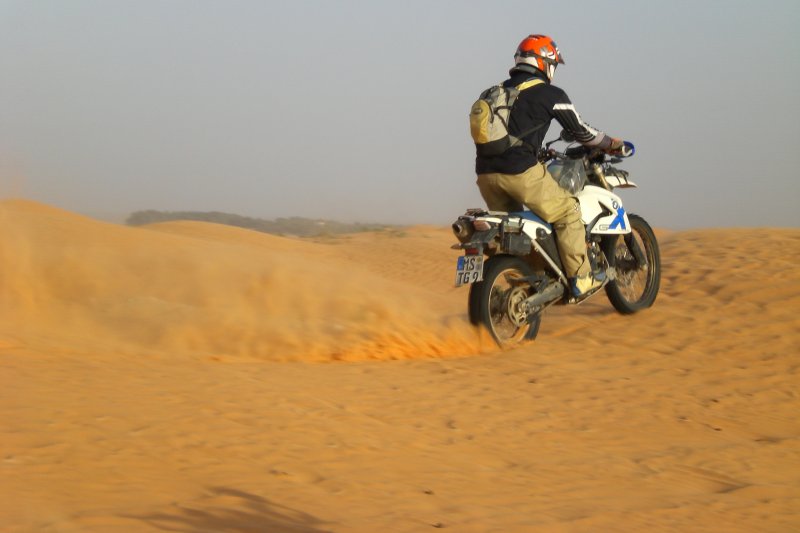
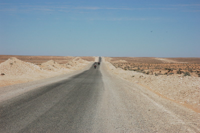
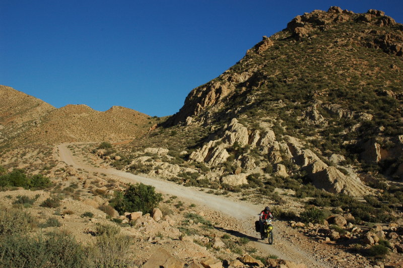
Shortly after passing Chenini, the road splits and there ate two main paths towards the west.
Since we had come by the northern road in 2007, it was obvious that we would take the southern one this time.
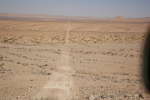
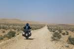
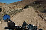
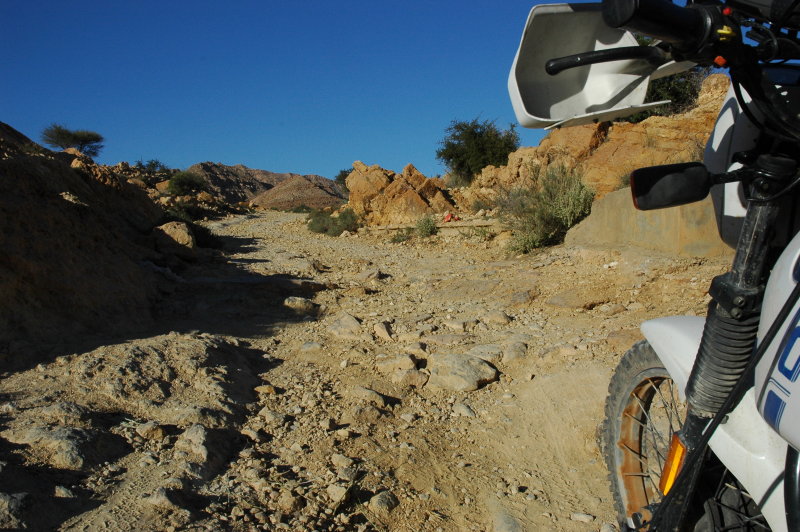
The southern path is less fast to ride than the northern one, but offers also much more variety. There are long
straight stretches, but also a few narrow sections across a chain of hills. Due to the winds, lots of sand and bulldust
accumulate on the surface and make riding sometimes difficult.
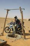
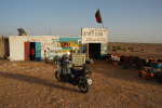
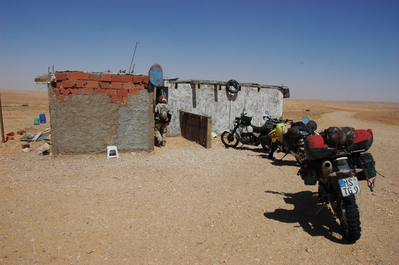
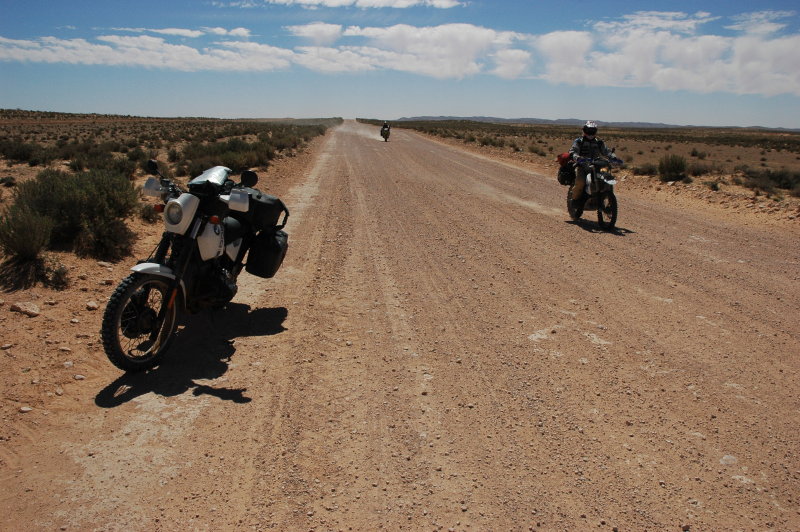
During a tea stop at Café Nomad (view on Google maps)
I noticed that my front wheel rim was covered in red sand, but somehow this did not ring a bell. We had a good tea and took off to the same road that we
had come last year.
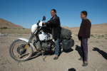
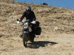
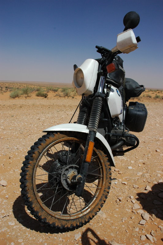
It was a rougher ride and when I stopped for a photo Petra noticed that my left front fork was dripping oil.
I first thought of a defective fork seal, but fortunately this was not the case. Indeed there was nothing really defective
- it was the M8 bolt at the very bottom of the fork that had come loose for about 1.5 turns and this was fixed quickly.
I had overhauled the fork about 9 months ago and not changed the crush ring underneath that bolt (since I had forgotten
to order it) ... this was probably the reason for it coming loose.
Thus, I could continue to ride, but since the fork had lost most of its compression damping I decided to go very sloooowly.
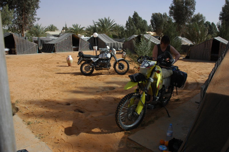
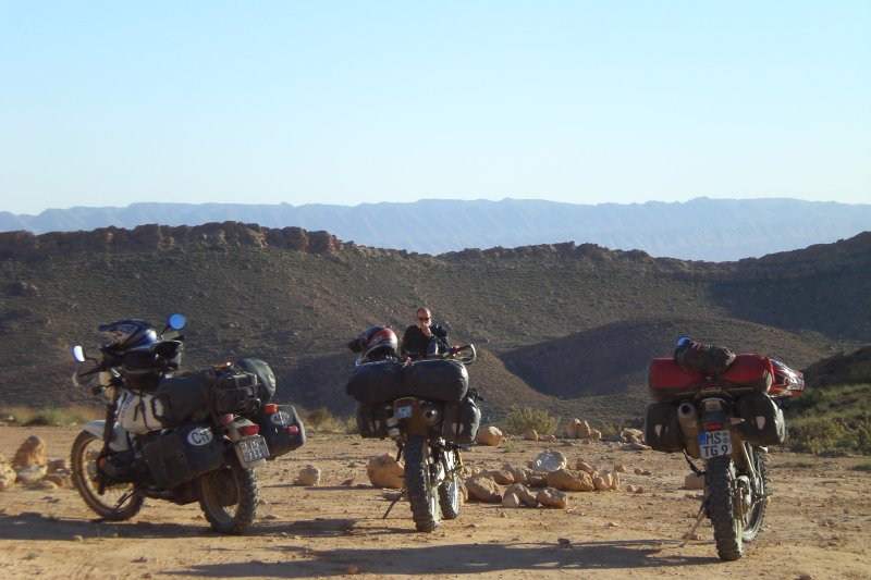
We went to the camping Ainess south of Ksar Ghilane first. It is a nice place, but somewhat lonely ... and since this I was
in need for some fork oil we decided to try our luck in Ksar Ghilane first. If that would not work, we could still use motor oil.


Ksar Ghilane
We installed ouselves at the camping El Biben, which is the southmost of the three camping sites in Ksar Ghilane (view on Google maps). The site is much calmer than the very-well-known Campement Rhilane
at the hot spring at the northern end of the oasis, but the prices are not much less "fantastic": At least I managed to negotiate it down to 20 TD per
person inclunding breakfast; normally this would be a hilarous 28 TD/person!
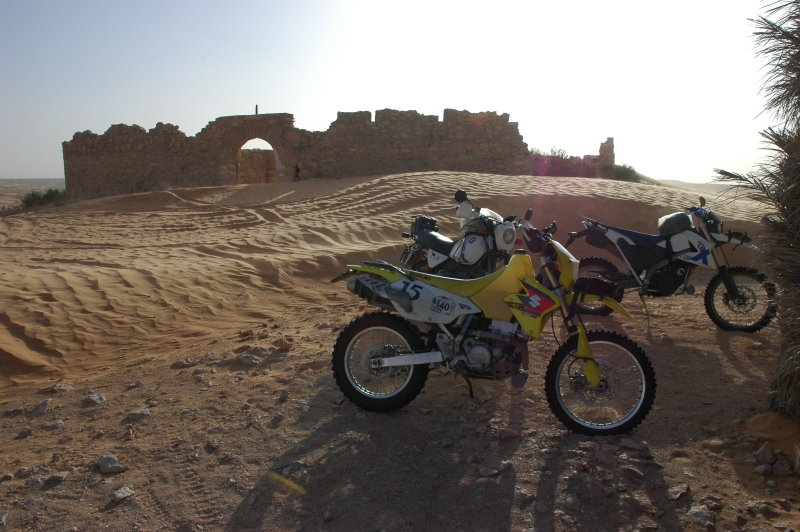
Ksar Ghilane has been an Tunisian outpost, controlling the sand sea of the Grand Erg Oriental since millenniums. The Romans left a fortress here
(which is "the" Ksar) that was later used by the French ... but it was probably not a very popular place to serve in either army due to its isolation
and the heat. Said fortress it located about 2 km northwest of the oasis and is a well-appreciated site for visits, either walking, riding on a dromedar,
or with a motorized vehicle.
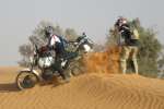
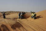
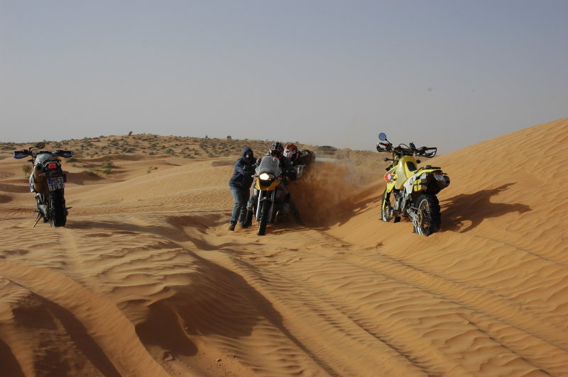
We had been there last year and of course we had to ride there, too. I decided to ignored my under-damped fork and the three of us went for
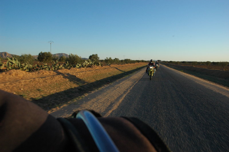
the ride. We soon had the impression of being on a "desert highway": This was the Easter weekend and dozens of motorcycles and 4x4s were taking
this path - impossible to "let go", you always had to watch out for other vehicules ...
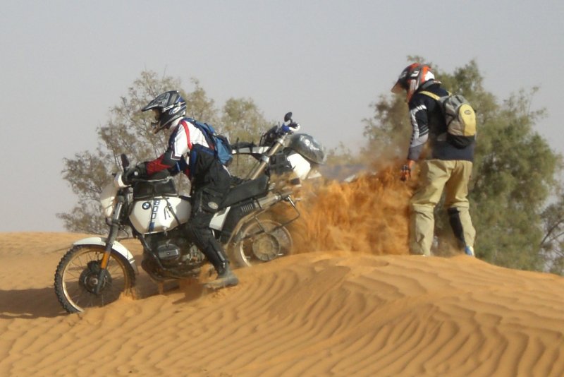
The fort itself is slightly elevated and this time I rode the GS up the sandy slope to the top - it's "merely" a matter of sufficient speed,
and sufficient ignorance about the noise of the engine guard hitting the rocks ;-).
During our short visit of the site and a tea in the ubiquituous café, a whole bunch of italian 4x4 drivers invaded the site,
stayed for 5 minutes and left again ... ?
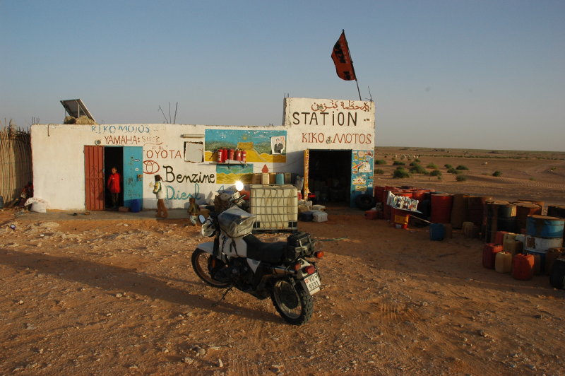
After a while I left and made a short tour of the "gas stations" around the oasis, hoping to find some fork oil. I learned that you can
buy all kinds of gas here, hydraulic oil, battery acid and brake fluid in sealed containers, but ... no fork oil.


Logistics
- Campement El Biben, Ksar Ghilane.
- Total: 153 km.
Top | Slideshow
Leaving Ksar Ghilane
During the night I heard quite some engine noise and in the morning we found that a number of Italian motorcyclists had arrived together with a
rather big service truck. I went over there to have a casual chat (one of them had brought a two-seat helicopter!) and when I asked it turned out
that they had indeed fork oil. A few minutes later the fork of the GS was up to level again and the perspective of riding on bumpy roads looked much
nicer again. Thanks a lot, guys!
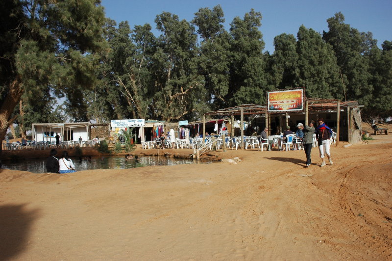
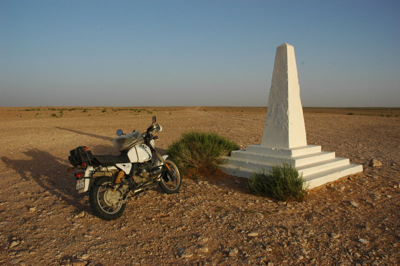
It was almost 11 o'clock when we left Ksar Ghilane. The road led by the fountain of Bir Soltane (view on Google maps), which is no longer accessible as such due to the installation
of water pumps. A stop at the Café Jelili deceived us, too: The old man that we had met last year was not there and the two young
guys that lead the café on that day had turned the wonderful, welcoming place of last year into an overpriced tourist show.
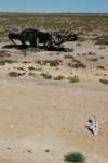
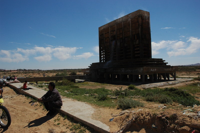
We continued until El Hamma, then to Bel Khir. Near Sambar we passed by some strange sculpture,
and only a few metres further (view on Google maps)
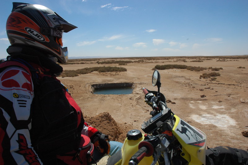
there was a hot spring with a kind of salina.
Women were washing clothes there, but when Petra asked they would not want to be taken in the picture.
Dommage.


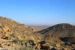
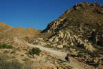
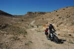
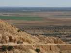
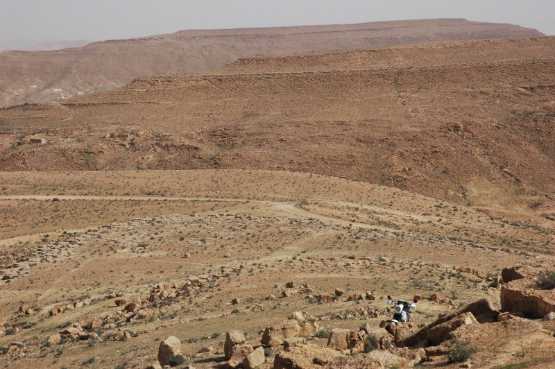
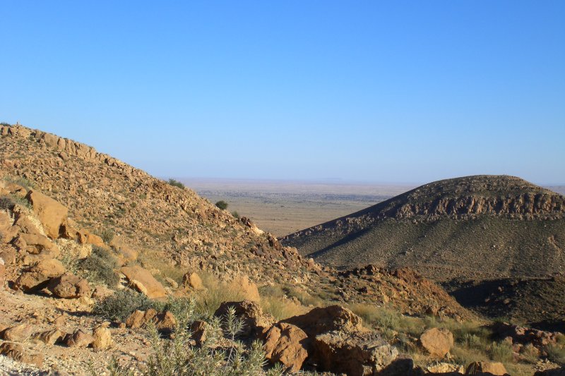
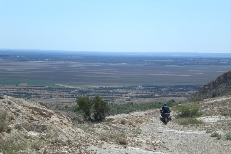
Into another desert landscape
The road lead across Chott El Fejaj, which is actually the eastern "end" of the Chott El Jerid. From there, the road enters the hills north of the Chott,
and after waking up a Fenek (desert fox) we spent the whole afternoon wandering through this strange landscape. Apart from a few isolated villages there is no human
life, here and both the landscape and colours created by the intense blue sky reminded me of pictures of the altiplani in South America.


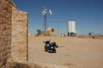
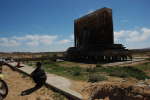
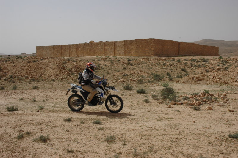
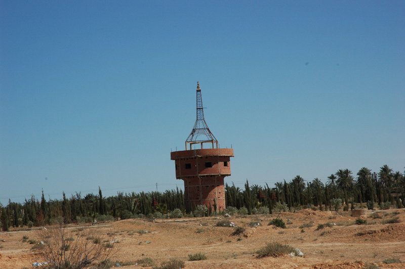
Recycling a French fort
The road that leads from El Haffey towards Col Hadej (see below) passed by yet another one of these abandoned French forts. When we approached
this one (view on Google maps), we soon noticed that
there were people living here. We did not want to disturb, so Petra and Florian took off again quickly. I was the last one and when I saw the
inviting signs I could not resist and stopped for a few minutes.
Indeed the families that live here were very friendly; they were proud to show e.g. the tissues they wove (and honestly: nobody even tried
to sell anything to me!) and the beautiful view to their "back garden".
Col Hadej
A few kilometers north of El Haffey is Col Hadej, a montain pass (
view on Google maps). We arrived there in the late afternoon and the warm light of the setting sun painted the whole landscape in orange
colours. It took quite some effort to concentrate on the road instead of staring around and admiring the countryside :-)

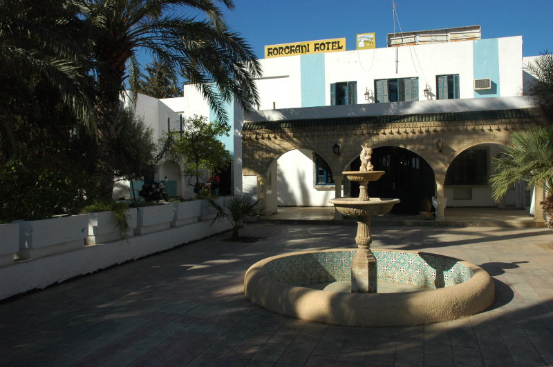
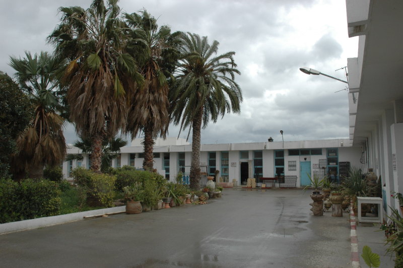
Sidi Bouzid
We were looking for a hotel for the night and the only name we had was the Hotel Horchani in Sidi Bouzid. The city itself is a rather important
administrative site. There are many banks, lots of shops and restaurants, but since most of the shops carry only signs in arab lettering we can
conclude that tourists do not come here very often: The city has apparently no attraction that would merit the visit.
We found the hotel almost immediately since it is situated at the southern entrance of the city. Our first impression when we saw the
nice installation and the garden was "whew" and we were immediately invited to park the bikes in the restaurant. The receptionist was kind,
we filled out the usual forms and were guided upstairs.
This is when the good impression fell off.
The carpet on the floor was partially ripped off, a lot of dust everywhere and the sanitary installations in the two rooms
we occupied were in a disastrous state, with open cables runing close nearby. Hot water was not working,
and after multiple inquiries at the reception I was given the key of some other room; the receptionist mentioned something
about repair work being done. Needless to say, I took an almost cold shower and we never had hot water.
We were the only guests, but a few locals joined during the evening in the hotel restaurant and had a few beer.
We could not get rid of the impression that this hotel only operates today since it has a "licensed" bar, i.e.
they have the right to sell alcoholic beverages.
The night was relatively calm, apart from the fact that a few locals spent a quite noisy evening in the hotel bar.
Considering that the hotel rooms were in such a bad shape, we believe that the hotel nowadays mainly serves as a bar:
It has a license to sell alcoholic drinks. The rest of the installation is definitively not used on a regular basis.


Logistics
- Hotel Horchani ... never again!.
- Dinner: Some restaurant in the city.
- Total: 297 km.
Top | Slideshow
Leaving Sidi Bouzid
We had breakfast and packed. Since we had paid the room before but the guardian had agreed on the evening
before to reimburse some of the money if the hot water would not work, I proceed to the reception. Of course he was
no longer on duty, so I had some smalltalk with the lady at the reception. She was nice and it was a pleasure to talk
to her, but when I asked for a reimbursement her knowledge of the French language suddely disappeared ... and when I asked
for the manager I think I lost her completely. When then mentioned that I would contact the editor of our travel guide book
in order to include this hotel as a "non-recommendation" she did not move ... but as soon as I turned my back a young hotel
employee that had been silently obeserving the situation started to shout at her. I think they all understood pretty well
what I was saying :-)
Our recommendation: whenever you are looking for a hotel near Sidi Bouzid, avoid the "Horchani" at all cost. There is another
hotel in the city, the "Chems", on the main road that crosses the city west-east ... we did not test it, but
it cannot be worse than the "Horchani".
Djebel Cherahil
We bought some bread and water, then left Sidi Bouzid. Our next destination was the Djebel Cherahil (view on Google maps), a mountain situated halfway between Sidi Bouzid
and Kairouan. The western ramp offers a beautiful, easy ride between cactus plantations,
but once you pass the mountain top it starts to become a harsh ride over large boulders - actually I would not want to ride this
the other way round. However, the view across the plains in the east is amazing.
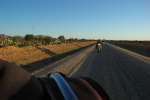
We descended into that huge flat area and between green planatations we advanced quickly and on good roads towards the east.
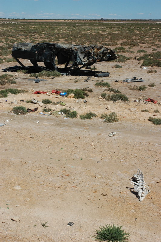
We soon realised that people are driving much faster here than in the southern or western part of the country: The roads are mostly
straight and are generally well maintained. In spite of this (or as a consequence?), many car
wrecks are seen along the roads and we also saw many salvage yards.
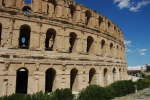
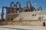
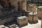
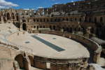
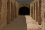
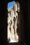
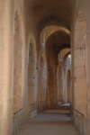
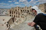
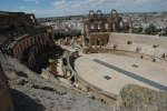
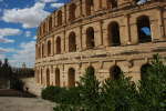
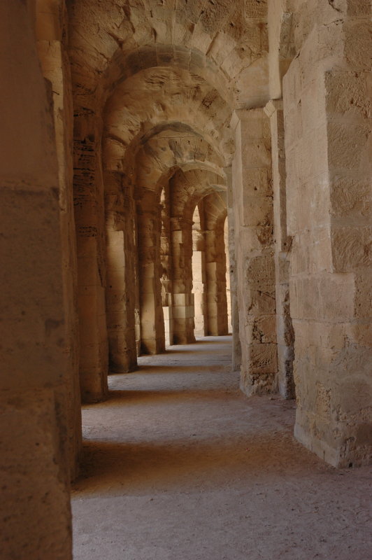
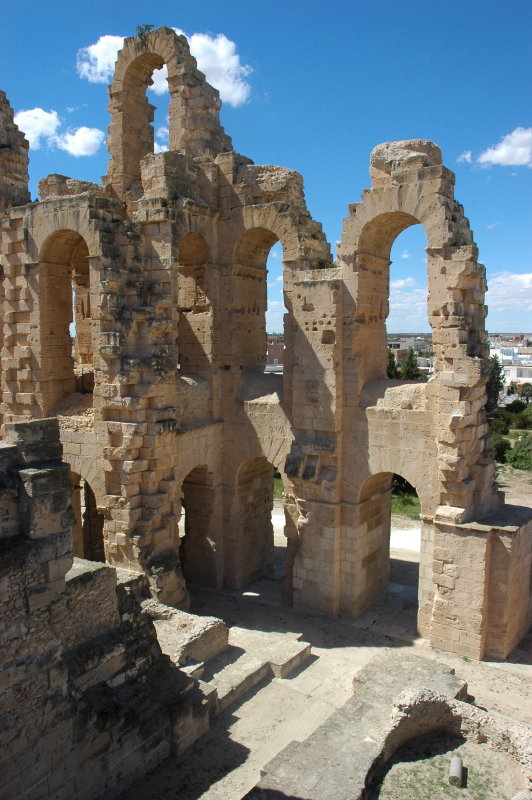
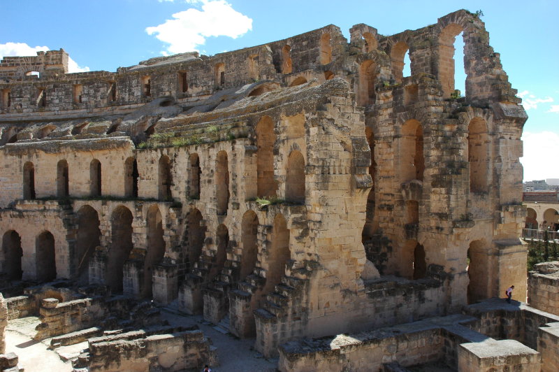
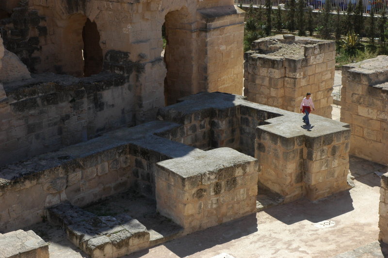
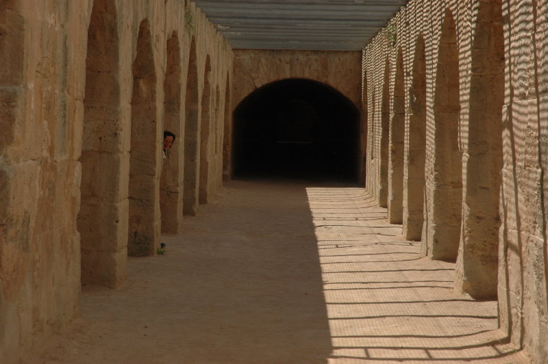
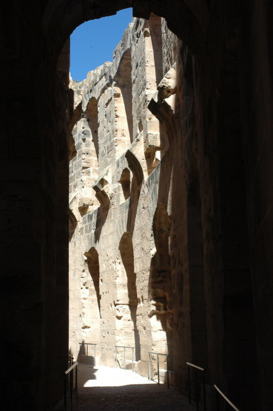
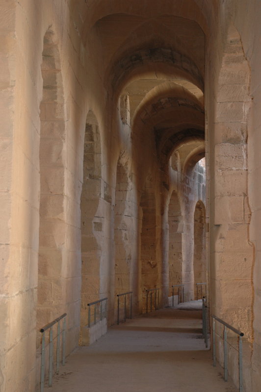
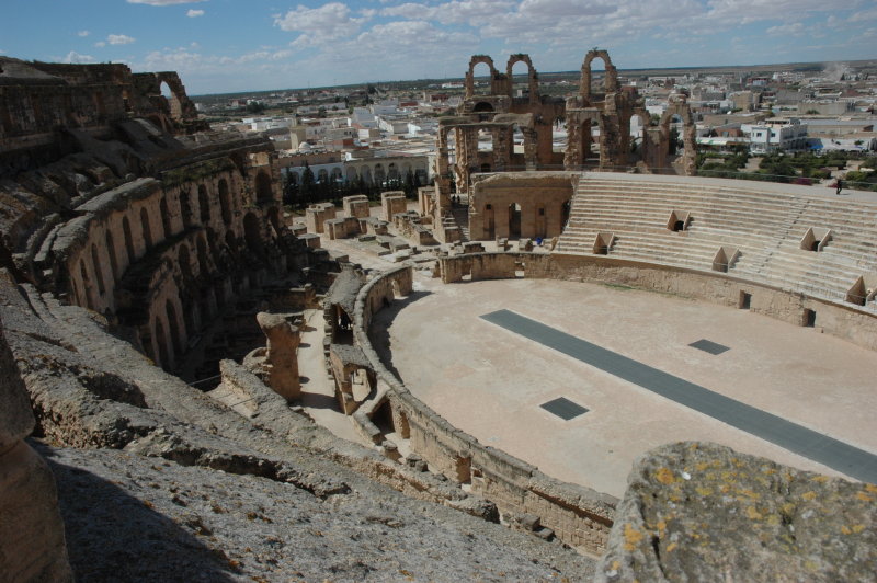
El Jem: The roman colosseum
El Jem has not much to offer for a tourist, if it isn't the Roman colosseum - but this one is definitively worth any detour and also the relatively elevated entrance fee.
It is classified as UNESCO World Heritage Site since 1979.
Not unlike the famous tower of Pisa, the colosseum is visible from quite a distance.
It is almost as big as the one of Rome and in better condition: 148 metres long by 122 metres wide, with tiers up to 35 metres. It is believed to have given room for more than 35'000 spectators. The arena is
65 metres long and 39 metres wide, large enough to host more than one show at a time and it had a moving floor so that "special effects" could be
performed. Today this floor is replaced by a metal grid, but the passageways underneath where animals, prisoners and gladiators were kept are open to visitors.
Links/Source: lexicorient.com,
View on Google maps.


Towards Kairouan
We left El Jem mid-afternoon, stopped for some food on the road and then headed for Kairouan (lexicorient.com). After some struggle in the dense roads
we settled for the Hotel Conti (view on Google maps),
took a shower, dressed up and headed for a visit of the city.
Kairouan is a beautiful tourist destination and certainly one of the best places in Tunisia to learn about Islamic history.
However, I admit that after spending so much time in isolated regions, I had quite some difficulty to get used to such a crowded
place again. In addition, being constantly adressed by people that want to become your guide can quickly get annoying, too ...
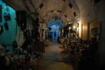
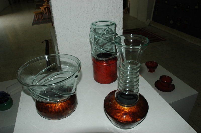
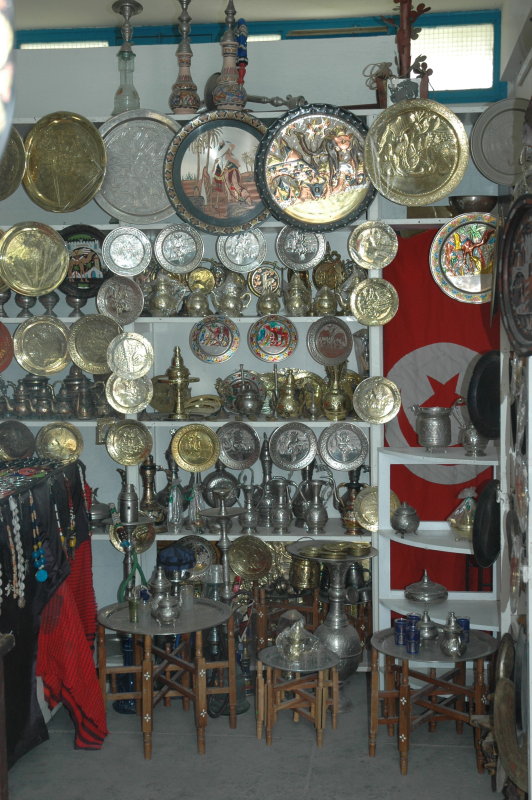
so we limited our visit to a casual stroll torough the Medina, enjoying the colours and lights.


Logistics
- Kairouan, Hotel Conti.
- Total: 265 km.
Top | Slideshow
Top | Slideshow
Top | Slideshow
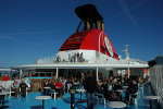
Back to Europe
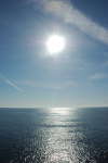
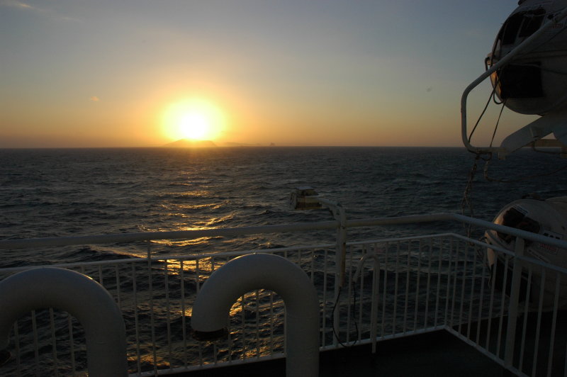
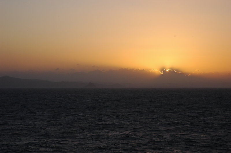
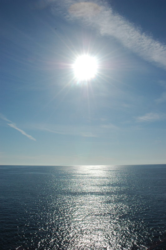
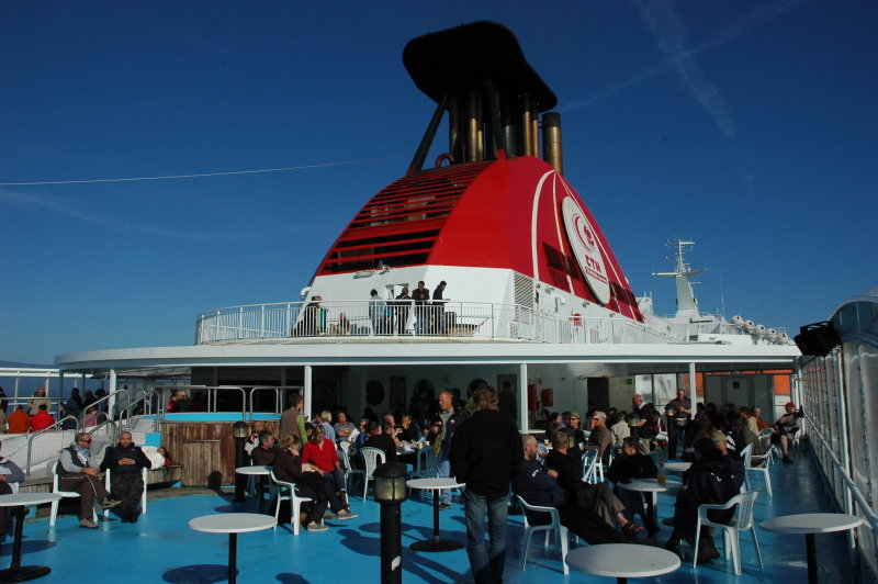
During the night the sea became calm and remained like this for the rest of the trip. We woke up to a blue, sunny sky,
and spent the day mostly either sleeping, sunbathing, or chatting with the other travellers.
The ferry arrived in Genoa almost on time, but we suffered a huge delay due to Italian customs (again!). Indeed they wanted to see each
and every passport before you could leave the harbour and this included all motorcylists. Thus, we were slightly sweating now ...
and a few minutes later it was getting chilly up in the mountains.
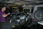
Due to the unclear signalling at the northern exit of Genoa we lost Petra in the dense traffic, but managed to meet all together
at the highway exit near the camping site a while later. Car and trailer were in perfect shape and we immediately started to
re-pack and put the bikes on the trailer. Leaving the place, we stopped at the pizzeria, then hit the highway.
We arrived safely in Lausanne somewhere around 2 o'clock in the morning. Our holidays in Tunisia were over.

Logistics
- Total: 75 km (in Tunisia).
Top | Slideshow
Preparation
- For some general information about this great country,
see e.g. Wikipedia.
- Literature: Ursula Eckert and Ingrid Retterath, Reise Know-How Tunesien. Highly recommended!
We have used the - slightly outdated - 5th edition (2004) of this guide. Updates for outdated or
missing information was sent to the editor after the trip.
- Maps: Michelin 744. Scale 1:800'000, i.e. 1 cm=8 km. In spite of the recent edition date,
the map is partially outdated; in addition, the paper is of bad quality so that the maps rapidly disintegrates.
There is also a Michelin 956 with the same nominal data, but I don't know if these maps are identical.
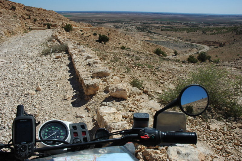
- GPS: Everyone had a GPS receiver mounted on the bike. We used the free GPS maps that are available at
4x4travel.org and that turned out to be very valuable for our orientation.
- Money: In Tunisia, everyone of us spent about 600 EUR overall. This includes "everything", from food to gas, from camping to water.
For the overall costs, you have to add the ferry ticket of course.
- Tools and spares: Essentially, we carried the stock toolsets of the bikes plus a few special tools, "just in case".
Apart from spare levers for brake and clutch, no particular spare parts were taken along (yet I had a spare alternator rotor
and driveshaft lying at home, ready to be sent should the need arise).
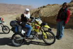
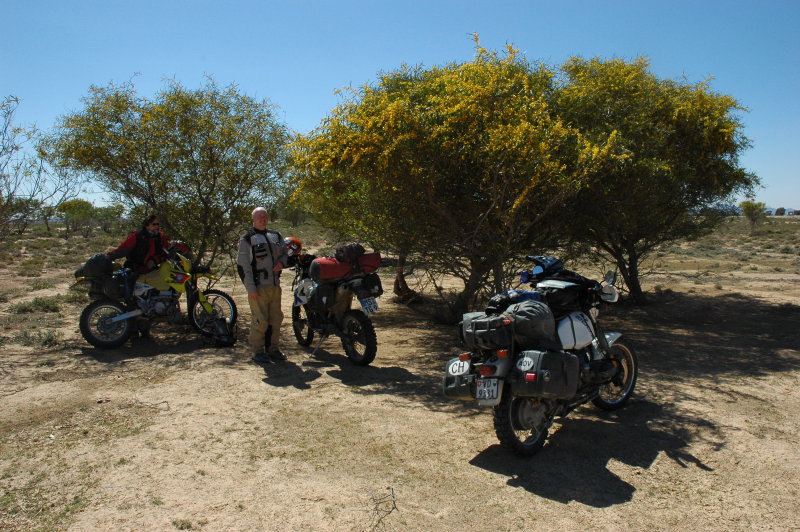
Motorcycles
- Petra and Florian rode with Michelin Desert tires, Jörg with Pirelli MT21 at the front and Mitas E09 at the rear.
The tire profile on the GS was still better than 60% at the end of the trip, in spite of the rough tarmac and gravel.
- In the first serious sand sections, we reduced pressure to 1.1...1.2 bar on both wheels. This same pressure was used
from the first week day onwards and throughout the whole holidays, even on rocky tracks, without problems (and without
tire holders on the GS). We did not get a single puncture.
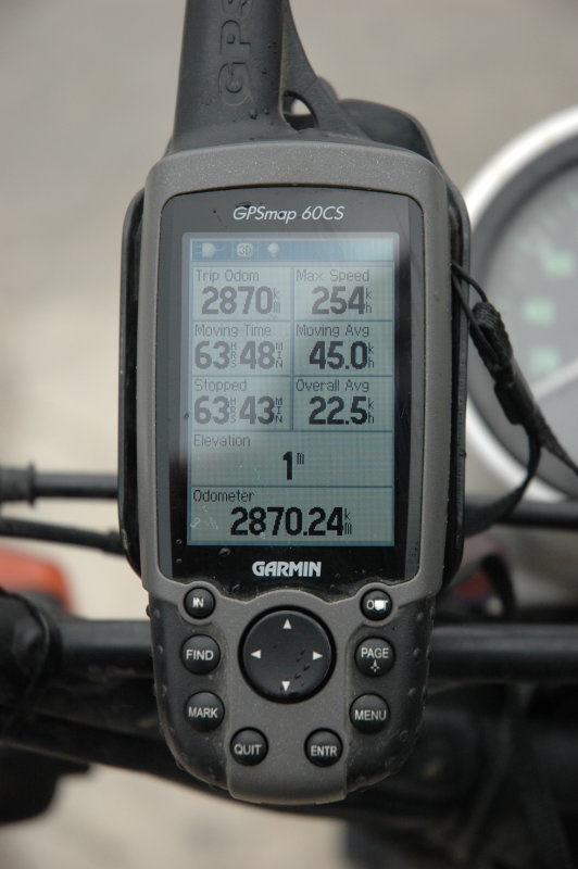
- Jörg's GS took on average 6.0 l/100 km, with values ranging from 5.3 to 7.2 l/100 km.
The low consumption - in spite of the sometimes harsh road conditions and sand - is explained by riding at constant speed
(between 60 and 100 km/h, depending on the conditions) over the long distances.
(It should be noted that the BMW speedometer measures at the rear wheel - i.e. any rotation counts, even if the bike does not move.
On the other hand, my GS has an odometer error of about 5%.
- Unleaded fuel with 95 Octane is available at all gas stations. Apparenty the price is fixed by the state; during our visit
we paid 1.25 TD per liter everywhere.
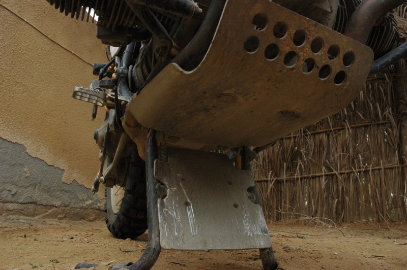
- On the GS, using the PD bash plate for both the engine and the centerstand turned out to be essential.
In particular the rear part - that bolts onto the centerstand - received a lot of hits, resulting in
deep scratches and dents.
Back to Part I, Part II


